Some years ago I explored a section of canal that brought cargo into the centre of Portsmouth, primarily for the Navy Dockyard, from London via the Arun navigation, avoiding a dangerous sea journey; We were at war with the French at the time and hoys carrying stores bound for Portsmouth Dockyard were at risk of being taken as prizes by the French.
From London, boats would leave the Thames at Shepperton to make their way south along the Basingstoke Canal to the Wey & Arun Navigation, leaving the river Arun at Ford and passing the villages of Yapton and Barnham, then on toward Chichester where it passed to the south before entering Chichester harbour. Boats would then be towed by a steam tug, The Egremont, in trains of six to the south of Thorney Island and then north of Hayling Island to enter Langstone Harbour. They would then have headed south west toward the entrance to the Portsea canal near to the harbour entrance. Open Canal Map app shows the route from London to the Arun and on to the sea, south of Chichester, into the Lavant Estuary. You can then see how the Egremont would have made her way to the Portsea Canal at Eastney Lake.
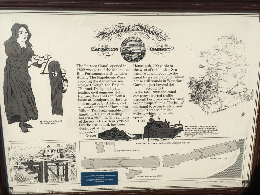
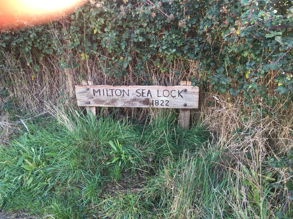
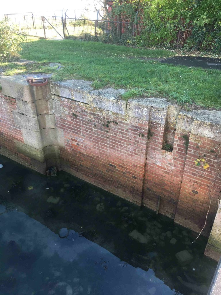
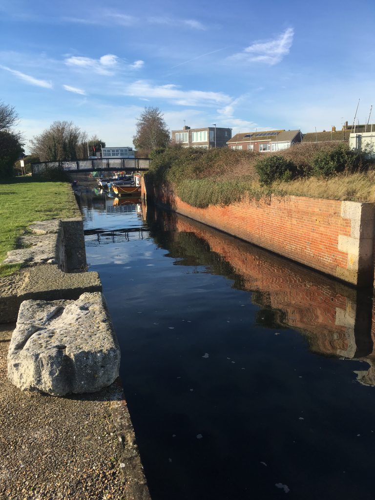
The boats would then enter the sea lock rising to a basin where boats on their way out could await the tide which would leave the sea lock high and dry at low tide. The remains of the basin still exists and is used by a fishing club as a slipway. The sea lock is well preserved with even some of the fittings and side paddles still in place.
Beyond the basin was a second lock taking boats up to the summit. Although there is no sign of the upper lock, I did spot a substantial stump of wood with an iron re-enforcing ring at the top; possibly the top of a lock gate. I cannot think it is nothing to do with the lock, it very much smells of canalia, and is in precisely the right place.
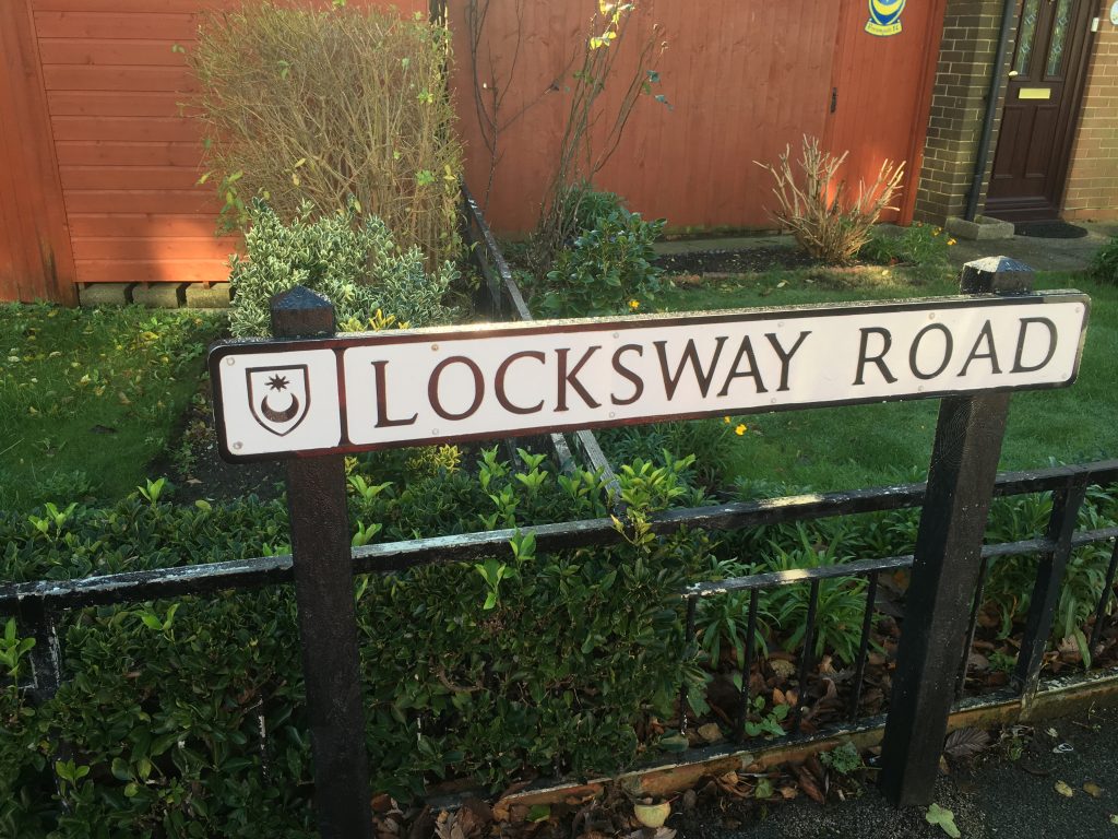
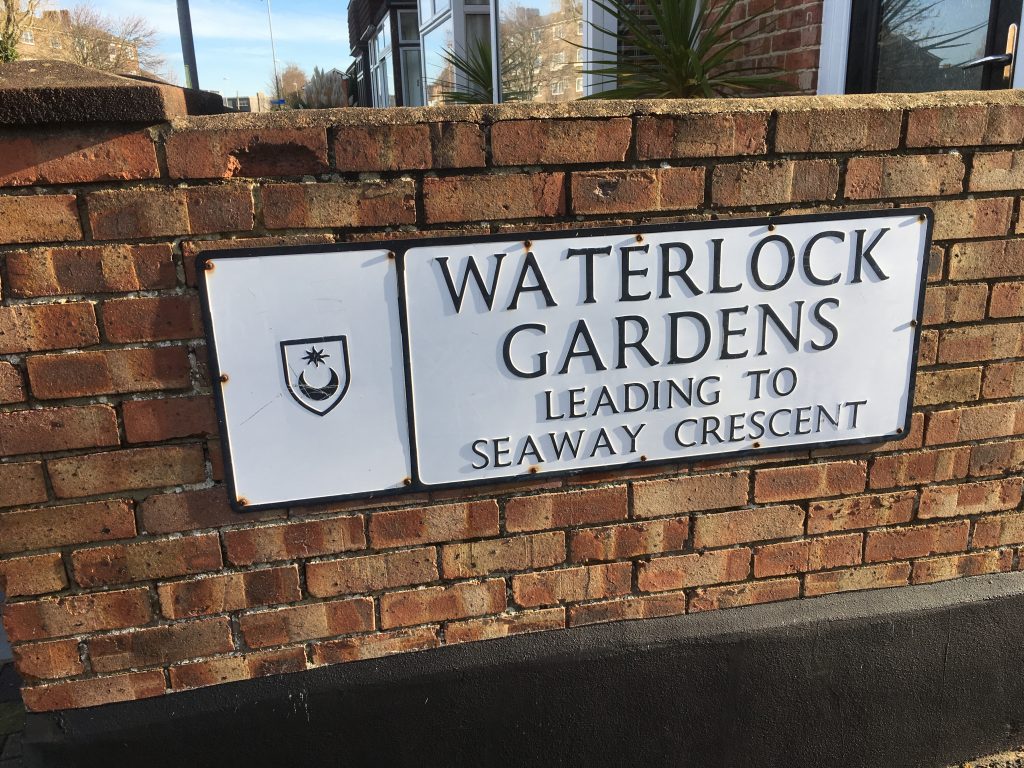
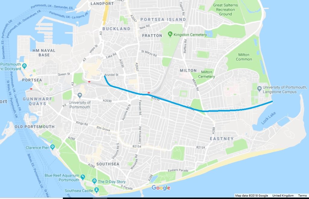
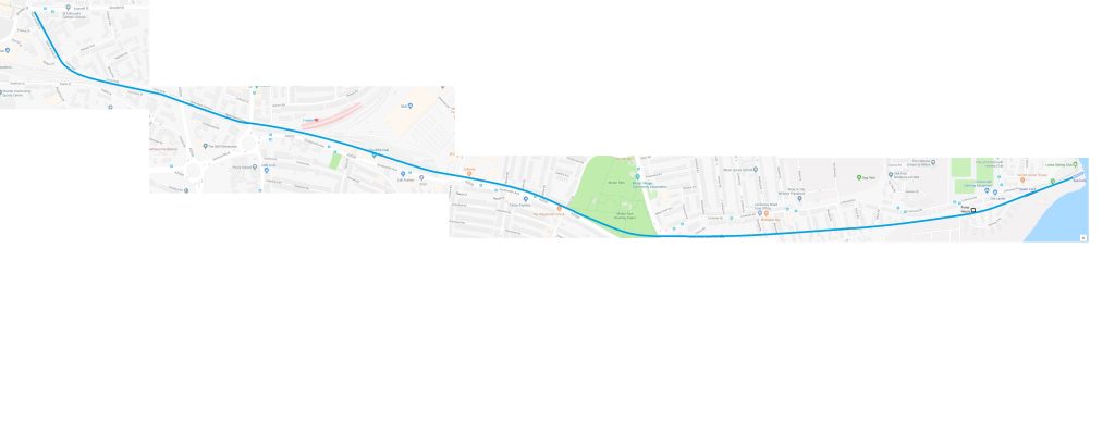
Sea water was pumped from the harbour to the summit by steam power. The pumping house still stands just beyond the site of the upper lock. Although nothing remains of the rest of the canal, the route can be traced by inspecting a map; road names giving clues to its route. At the site of Fratton Railway station, the canal followed the route now taken by the railway until just before reaching Portsmouth and Southsea station Canal Walk, which must have once followed the towpath, bends to the north heading for Arundel Street where the terminus would have once been.
The downfall of the canal came about because it was filled with seawater which leaked out and contaminated the ground water and so wells in the area. The canal was closed and boats were towed around the north of Portsea Island through Portcreak into Portsmouth Harbour and south to the naval dockyard. I don’t know why they didn’t do that in the first place. Maybe someone else knows?
This map gives an overview of the route through Portsmouth:
And here is a closer look.
This helpful sign is beside the sea lock.
