Holbrook-Rowner Stop Line
In the early years of the Second World War (1940-41) a defensive ‘Stop Line’ was constructed around the north side of Gosport. It ran from Portsmouth Harbour to St Mary the Virgin Church, Rowner, where it joined a tributary of the river Alver. The wet land around the River Alver was deemed boggy enough to be an obstacle to tanks, but an anti-tank ditch was dug from St Mary’s church to Portsmouth Harbour.
The line consisted of a deep, wide ditch with anti tank cubes at the road through the line near Fort Brockhurst. Pill boxes gave support fire at key points.
A vehicular entrance through the Stop Line was protected by a road block on the Fareham Road, immediately east of Holbrook, delineated by rows of anti-tank cubes, each constructed in mass concrete, three feet square and two feet 6inches above ground, on either side of the road block, running down both sides of the road and also extending out at 90 degrees, to meet the anti-tank ditch on either side. The blocks were set at 6 foot centres, square to each other, leaving a 3 foot gap between each cube. Moveable blocks with lifting rings on them were placed nearby so that it time of attack they could be dropped across the road to complete the line. The Stop Line was probably constructed in 1940/41 and can be seen on RAF air photographs taken in an air survey of the Gosport area carried out on 12 September 1942. Few anti tank cubes were constructed as by 1941 they were considered to be poor defence against tanks.

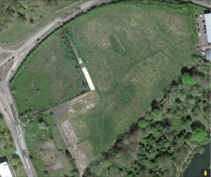
Also visible on these photos is the Holbrook Heavy Anti Aircraft (HAA) battery, immediately opposite the Site on the west side of Fareham Road. (Site 37736 SU 459200102100) The anti tank cubes are familiar to ex-pupils of Holbrook Junior School, which occupied the old Holbrook Anti Aicraft Site hutments after the War and until the new Holbrook school was built.
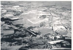
The cubes can be seen in the background on many old Holbrook School photographs.
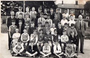
The anti-tank ditches running north-east and south-west from the road block were filled in immediately after the war. The anti-tank cubes running beside the road were removed completely when the school was demolished and the new Holbrook Leisure Centre was constructed. None along the west side of the road were retained and no one thought to photograph them!
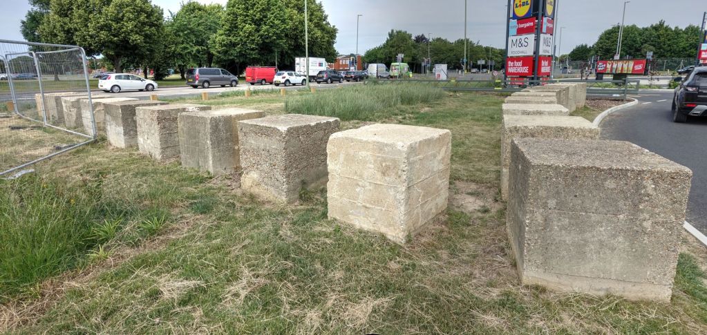
A row of nineteen (surviving from an original line of 24 showing on photographs post WWII) concrete anti-tank cubes survived running alongside the old path to the sports ground in front of Fort Brockhurst. They are the only surviving examples of anti tank defences in Gosport.
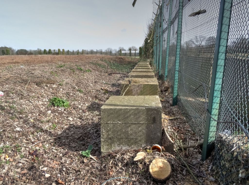
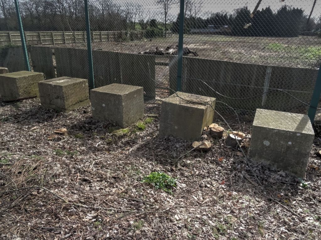
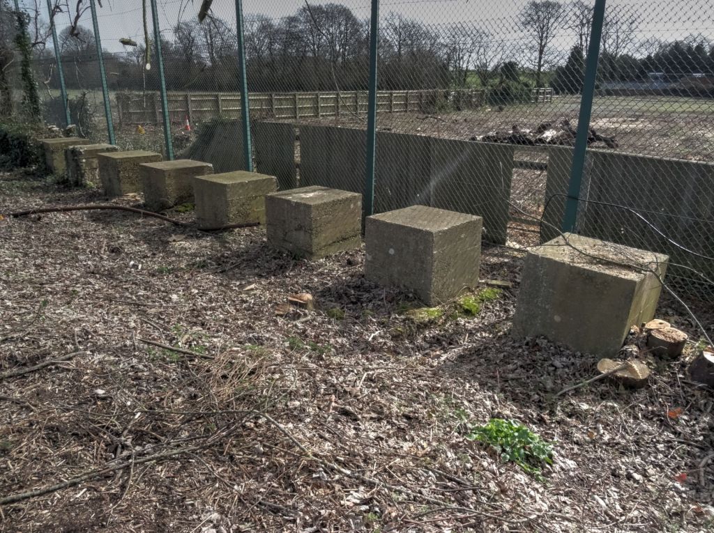
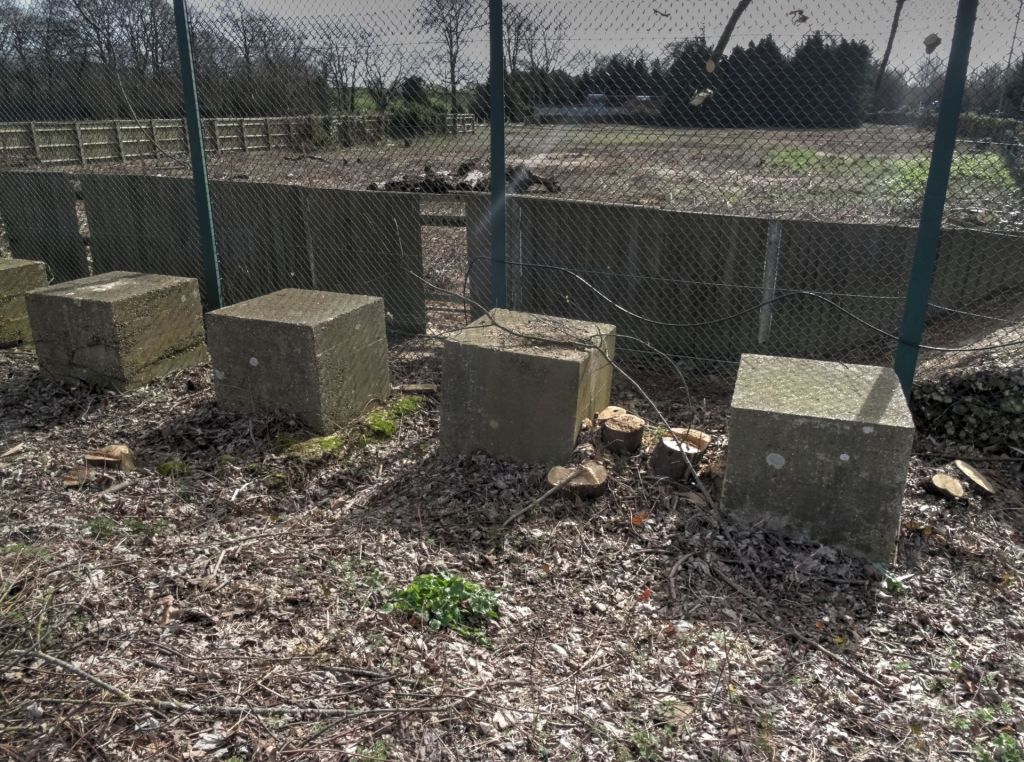
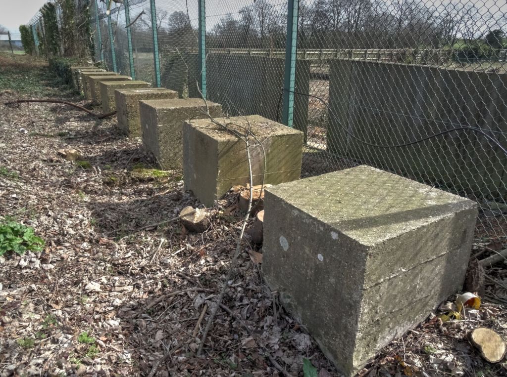
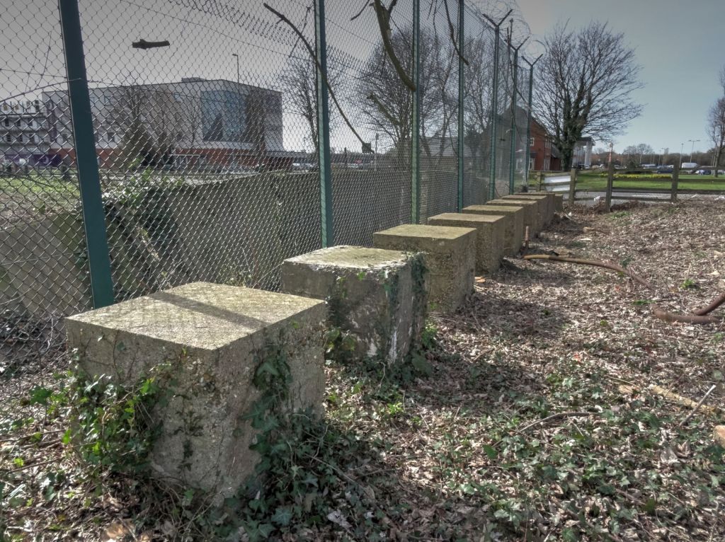
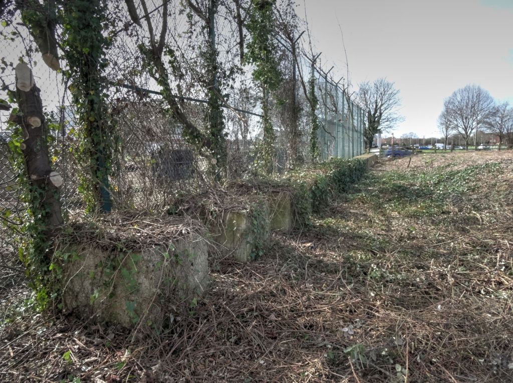
In 2017 they were included in a planning application on this site which was referred to as ‘Brockhurst gate’. The developer originally intended to retain ten of the cubes in situ and move nine of them, replacing them at a right angle to run parallel with the road. In February 2018 work to clear the site of vegetation had revealed the anti tank cubes once more and all 24 are extant.
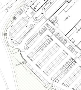
An amended plan shows that the developer intended to place them, some in a curve around the car park, the rest in a straight line, none in their original positions. This despite English Heritage stating:
‘With regard to the anti-tank cubes, our preference, as previously advised, is that all the surviving cubes should be retained in the current (original) locations. returning the cubes to public view and access, with interpretation, would be a heritage benefit.’ 7 February 2017
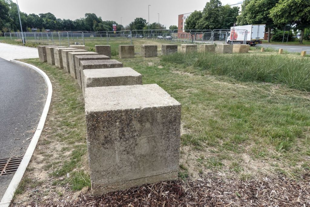
However during the development all of the cubes were lifted and placed in a line along the edge of what will become the car park. During the process many of the blocks appear to have been damaged, with chipped edges.
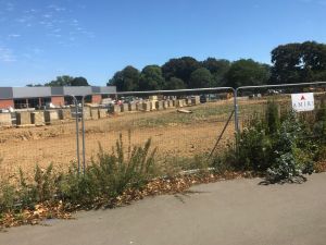
The final resting place for 18 of the cubes in 2019. Sadly the interpretation board for the cubes is a long way from them and is facing the wrong direction, leaving visitors puzzled as to where they are.
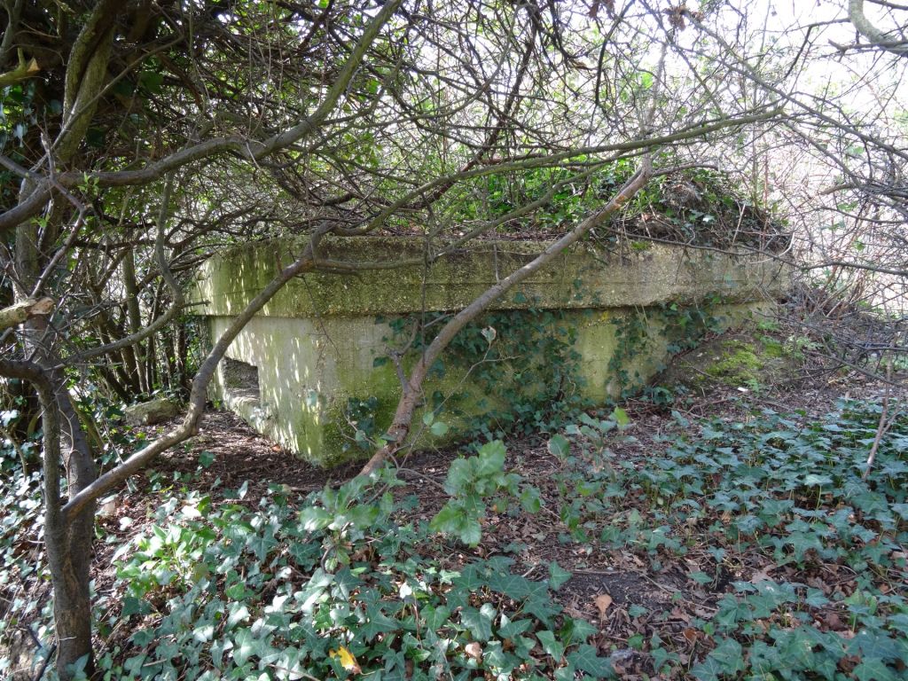
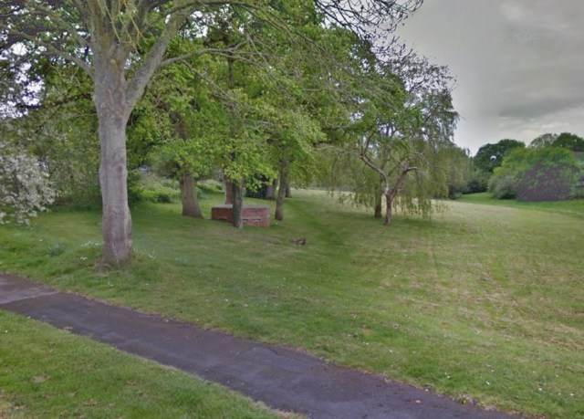
A wartime pillbox associated with the road-block also survives on the east side of Fareham Road, immediately west of Fort Brockhurst. Pillboxes built to protect the stop line at the eastern and western ends also survive.

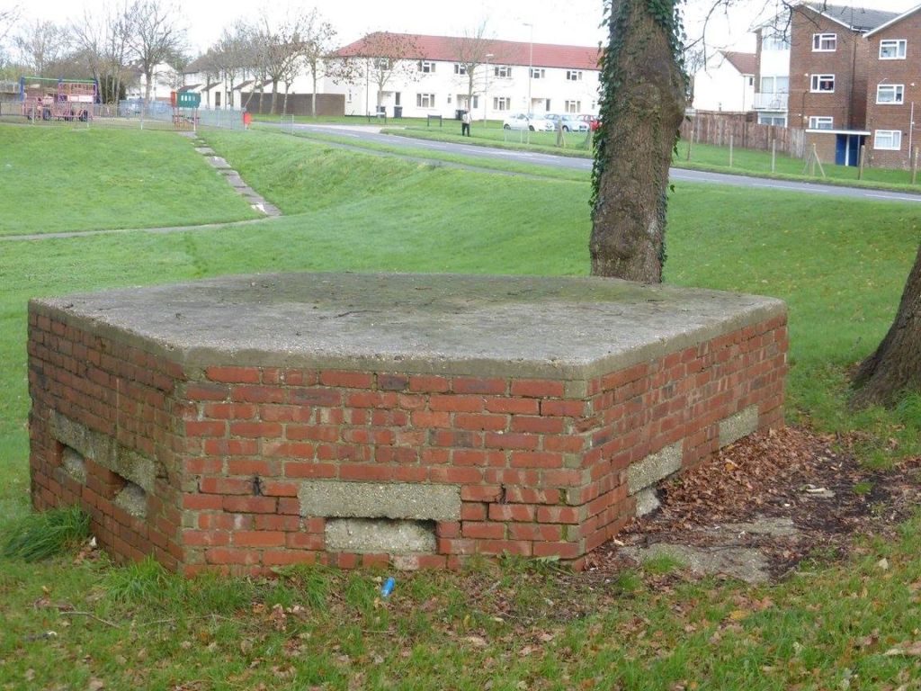
River Alver Stop Line
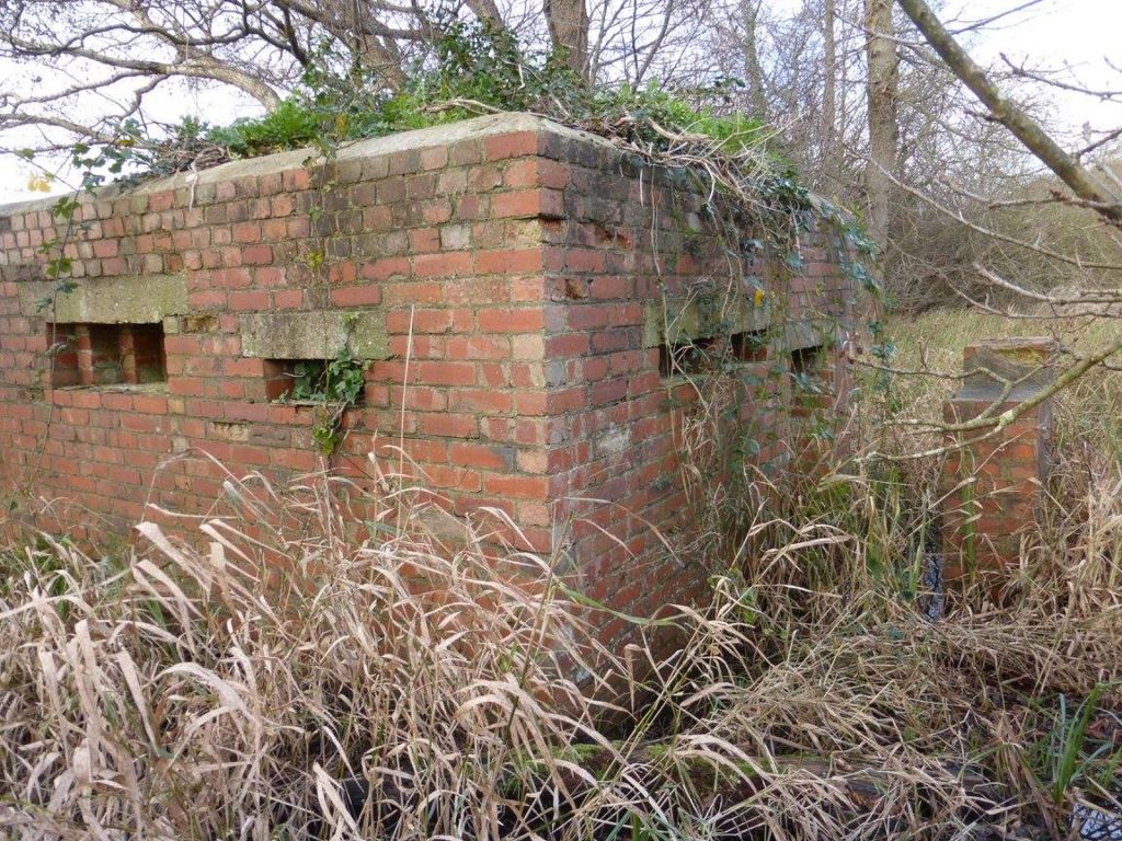
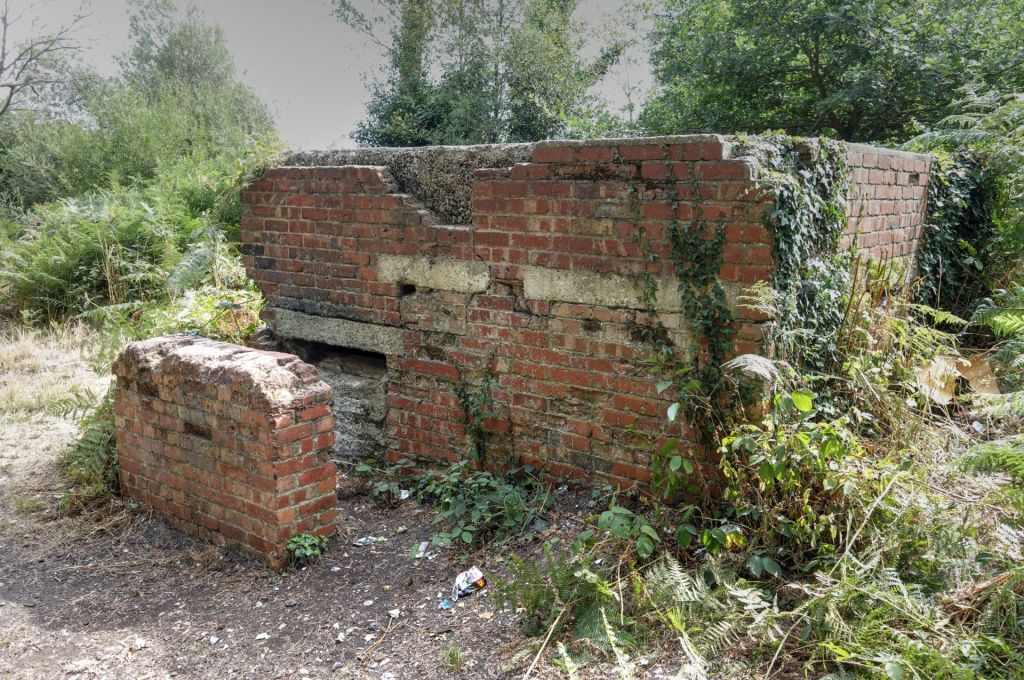
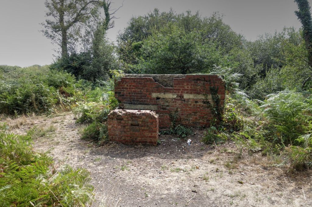
The River Alver, running north to south on the western side of Grange airfield, formed a natural barrier to tanks and infantry advancing from the west. A line of five pillboxes was added on the east bank of the Alver, along the western edge of Grange Airfield, in what is now Gosport’s Alver Valley Wildlife Haven. Each pillbox was armed with a Bren or Lewis gun in the loophole facing across the Alver. These have survived within the Alver Valley reserve. In 1988, when Peter Cobb of the United Kingdom Fortifications Club surveyed the line of pillboxes, he retrieved one of the Bren gun mountings. In 2013 one was converted into a ‘Bat Hotel’.
The ford that crossed over the River Alver at what is now Apple Dumpling Bridge was protected by two more Anti-Tank concrete cubes, one on each side of the track, with a third anti-tank cube that would have filled the gap. A sixth pillbox nearby on ‘Windmill Mound’ defended the ford.

Original page created by David Moore.
